 Image 1 of 1
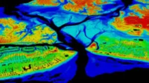
LiDAR (Light Detection and Ranging) data is used to create highly detailed and accurate topographic maps and 3D point clouds. This service is essential for projects requiring precise elevation measurements and ground surface modeling, particularly in areas with dense vegetation.
Key applications include:
Forestry and timber volume estimation.
Mining operations and volumetric calculations.
Flood risk management and hydraulic modeling.